Draft preview · work in progress
Guide · 01
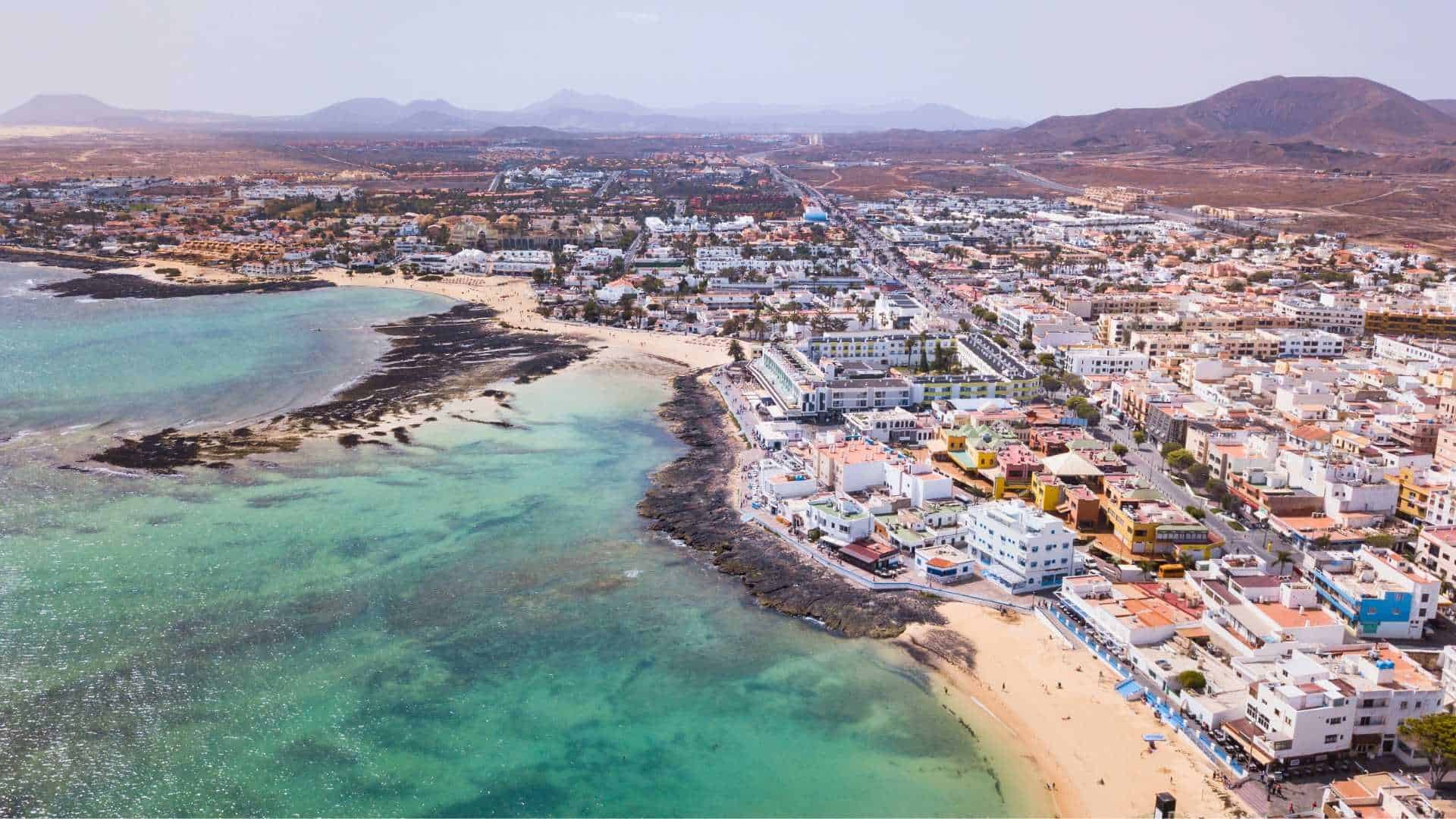
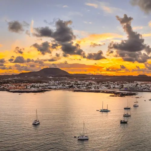
A fishing village that grew into a resort without entirely stopping being a fishing village. Here is what is actually worth your time - starting with what you can reach on foot from the apartment door.
Ten minutes or less
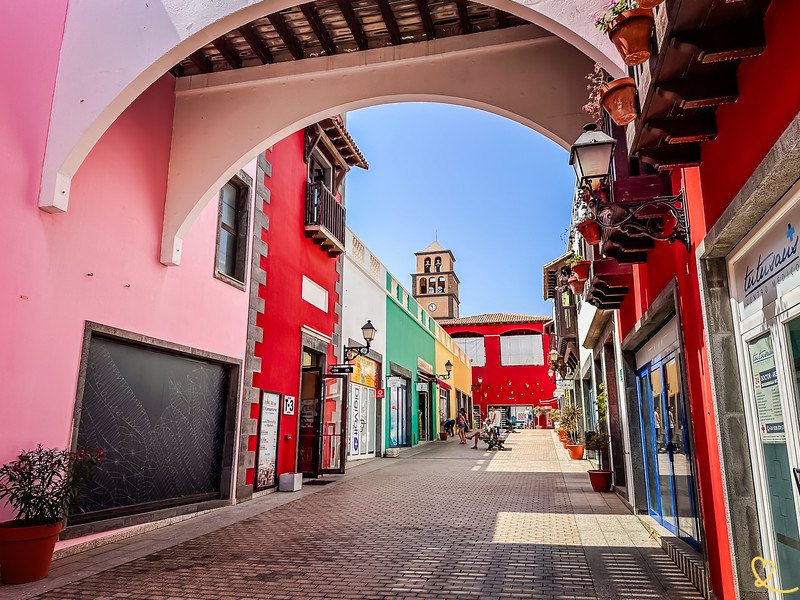
A ten-minute walk. An open-air centre built to look like a Canarian village - supermarket, pharmacy, shops, restaurants and bars, plus a market on Thursday and Sunday mornings. It is where you go for the first big shop and the last-minute forgotten thing.
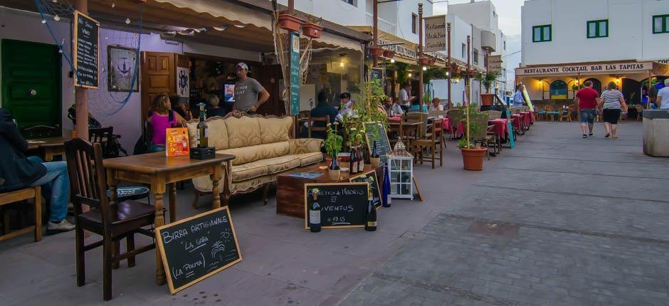
Blue Coral, Cafe Amarena and Bistrot del Mar are all under a kilometre - a genuine ten-minute stroll. Handy on the first night when you have landed, shopped, and no longer want to think.
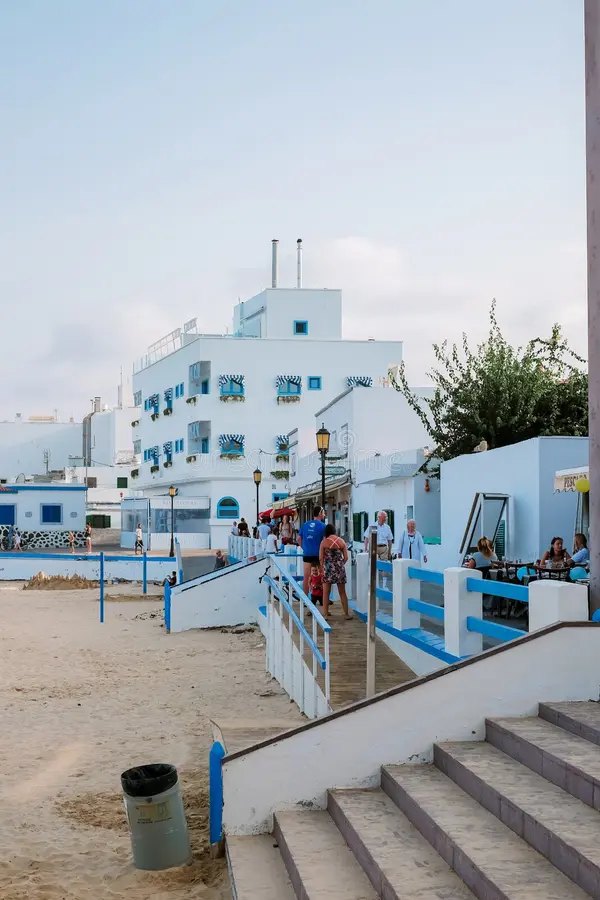
Las Clavellinas and Playa del Pozo are the closest, both around 1.6 to 1.7 km - small, rocky in places, quiet, and often more or less yours. Keep walking north and you reach the sheltered coves tucked between the buildings of the old town.
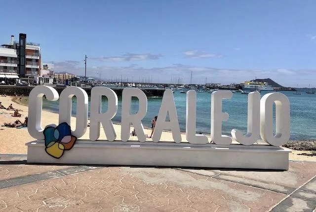
Twenty minutes on foot gets you to the old harbour. On the way out of the complex you pass two of the best sports shops on the island - board hire, wetsuits, fins, repairs - so arriving with the wrong kit is a five-minute problem rather than a day trip.
Where things are
Corralejo runs north to south along the coast, strung off one main road. The apartment sits at the southern end - El Campanario is about 750 m up the road, the old harbour and the ferries are around 2 km north, and the dunes run away to the south-east.
Drawn from OpenStreetMap data. The dashed ring is 800 m straight-line from the door, so the walking time is a fair guide rather than a promise.
The main event
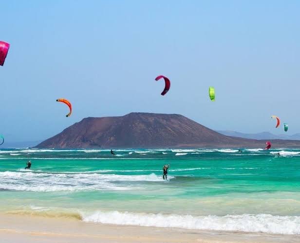
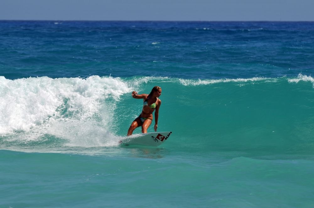
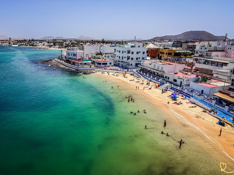
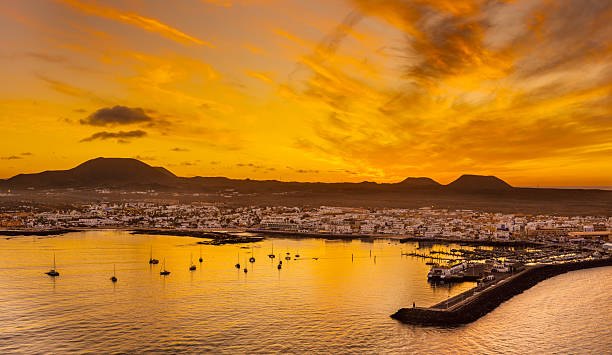
Around 2,600 hectares of protected dune field running down the east coast from the edge of town. Cycle or drive the FV-1 south and stop wherever it looks good. Early morning and the last hour of light are when the sand does the thing everyone photographs.
The long white beaches on the dune side. Shallow, turquoise, and enormous - walk five minutes from the road and the crowd thins to nothing. Very little shade and almost no facilities, so take water and something to sit under.
The kite and windsurf end of the dunes. Worth going even if you have no intention of getting in the water - on a windy afternoon it is a decent free show. Schools operate here through the season.
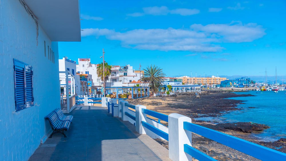
The old harbour beaches in town. Small, sheltered coves right next to the restaurants - shallow and calm, which makes them the practical choice with young children.
The Atlantic here is not the Mediterranean. Currents and shore break on the exposed beaches are real, lifeguard cover is limited outside peak season, and the wind picks up through the afternoon. Green, yellow, red - take them seriously.
The park runs south down the east coast from the edge of town, so from this end of Corralejo you are already on the right side of it. Grandes Playas is a short drive or taxi, the local buses run the coast road, and bike hire is easy to find in town if you would rather pedal.
After dark
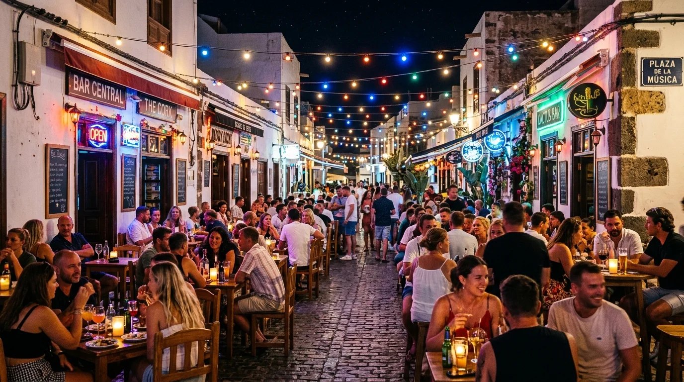
Corralejo has two personalities and they are geographically separated, which is useful.
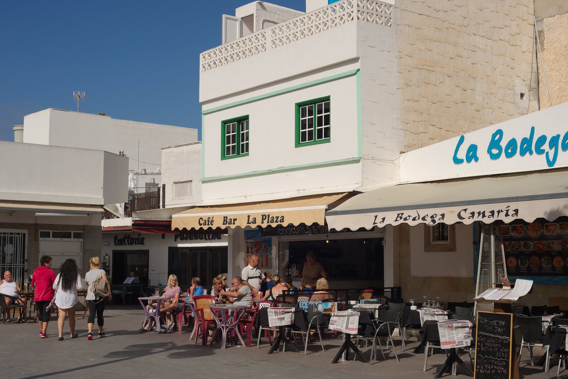
The northern strip - the main avenue - is the loud one: bars, chain restaurants, people handing you flyers. It has its place, particularly if you want to watch football or find something open at one in the morning.
The old harbour, twenty minutes' walk from the apartment, is the other one. Low white buildings, boats on the sand, and the small streets around Calle La Iglesia where the seafood restaurants are. Fresh fish sold by weight, cooked plainly, eaten outside. This is the walk to do on your first proper evening.
Order this: papas arrugadas with mojo rojo and mojo verde, whatever white fish is on the board that day, and the local majorero goat cheese - Fuerteventura's cheese is genuinely one of the best things about the island, and it is often better in a small local shop than in a restaurant.
Practical
Fuerteventura airport (FUE) is about 38 km south, roughly 40 minutes by car on a good road. Hire cars, taxis and the shuttle are all options - the shuttle is available through us and charged on use, so ask when you enquire and give us your flight times.
For Corralejo itself you can manage on foot - the shops, the old harbour and the nearest beaches are all walkable. For the rest of the island you want a car. A common approach is to hire for three or four days in the middle of the stay rather than the whole fortnight.
Corralejo harbour runs the short crossing to Isla de Lobos, and a longer one to Playa Blanca on Lanzarote - close enough to be an easy day out. Lobos entry is capped and requires a free permit booked in advance, so check the current rules before you plan the day.
Fuerteventura means "strong wind", and the name was not chosen at random. Temperatures are mild year round and rain is rare, but the afternoon wind is a fixture. It is why the kitesurfers come, and why you should pack a light layer even in August.
El Campanario holds a market on Thursday and Sunday mornings, and there is a larger flea market elsewhere in town during the week. Days do shift seasonally, so it is worth a quick check locally rather than trusting a page written months earlier.
The north shore around Corralejo and El Cotillo is the island's surf heartland, with reef and beach breaks to suit most levels and a good number of schools. Autumn and winter bring the bigger north-west swells. Ask in the sports shops next door - they will tell you honestly where to go on the day.
Next
Corralejo is the base. Fuerteventura is 100 km long, largely empty, and much stranger and more beautiful than the north coast lets on.